Beach Access Tracks

This submission argues that there is no need for Council to take action in relation to private access paths to Callala Beach. At our property and those around us, there is no evidence that these paths are undermining dune stability or making erosion at times of storms worse in any way.
If the Council’s engagement with the community results in additional measures we can take to provide greater stability then we welcome that, but seeking to deny private access to owners of beachfront property is unwarranted and should not proceed.
Experience of dunes being cut by storm/erosion
We have owned a beach front home on Quay Road since early 1997. During that time we have experienced several events in which storms have caused some cutting away of the dunes in front of our property, and all along Callala Beach. As a result, you can be assured that we are totally committed to ensuring that the dunes remain as stable as possible and we have encouraged vegetation to grow in front of our home to support this.
Our lived experience is that the dunes are actually very stable. The first storm incident occurred only a few weeks after we moved in, in May 1997. At the time it was somewhat distressing to come from Sydney to find that there was a drop down to the beach which we recall being about 1.5 metres. However, within a few months the sand had washed back and we had once again an easy access onto the beach.
This has been the case in all other episodes over the years. It is happening again now as the 1.5 metre drop that resulted from the erosion earlier this year is now down to about 0.6 metre.
The following sequence of photos from July 2020 to January 2021 helps to demonstrate this:
 |
In July 2020 there was an erosion episode as shown in this photo. This one wasn’t as severe as some others, but is still noticeable. |
 |
By October 2020 much of the cut had been restored, as shown in this photo. This picture demonstrates clearly the way sand is pushed back and builds up the edge of the dunes once more. |
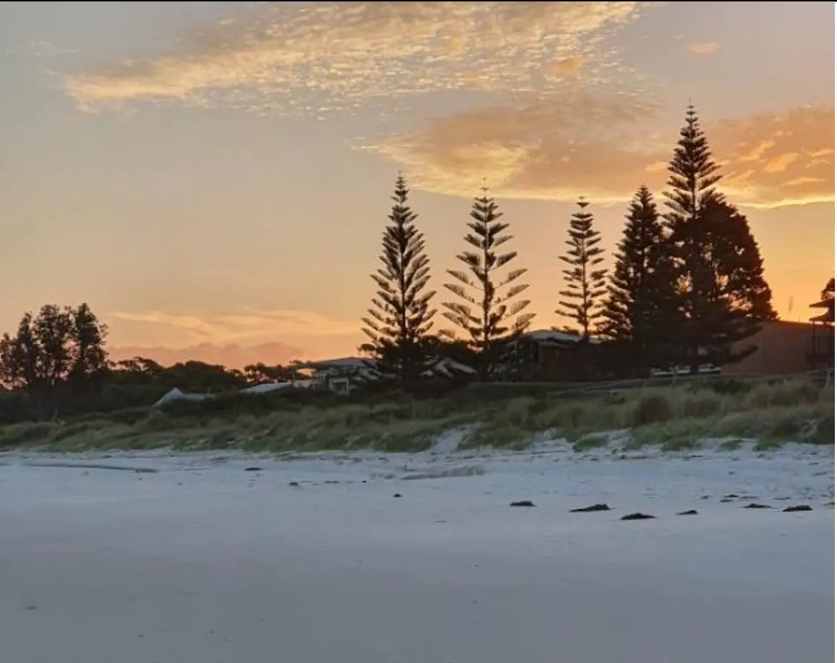 |
By January 2021, the cut is no longer evident as the dunes have been restored. |
Photos courtesy of Warren Bird, 2020-2021
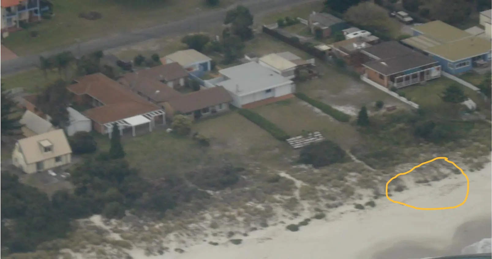
An additional observation that we believe is relevant is that every incident of storm erosion that we have witnessed over the last 25 years has cut the beach to the same spot. That spot can be seen in this aerial photo taken in April 2010 showing where the vegetation and dunes have always ended. It’s at the ‘thinning out’ point highlighted in yellow that the erosion happens. Every time.
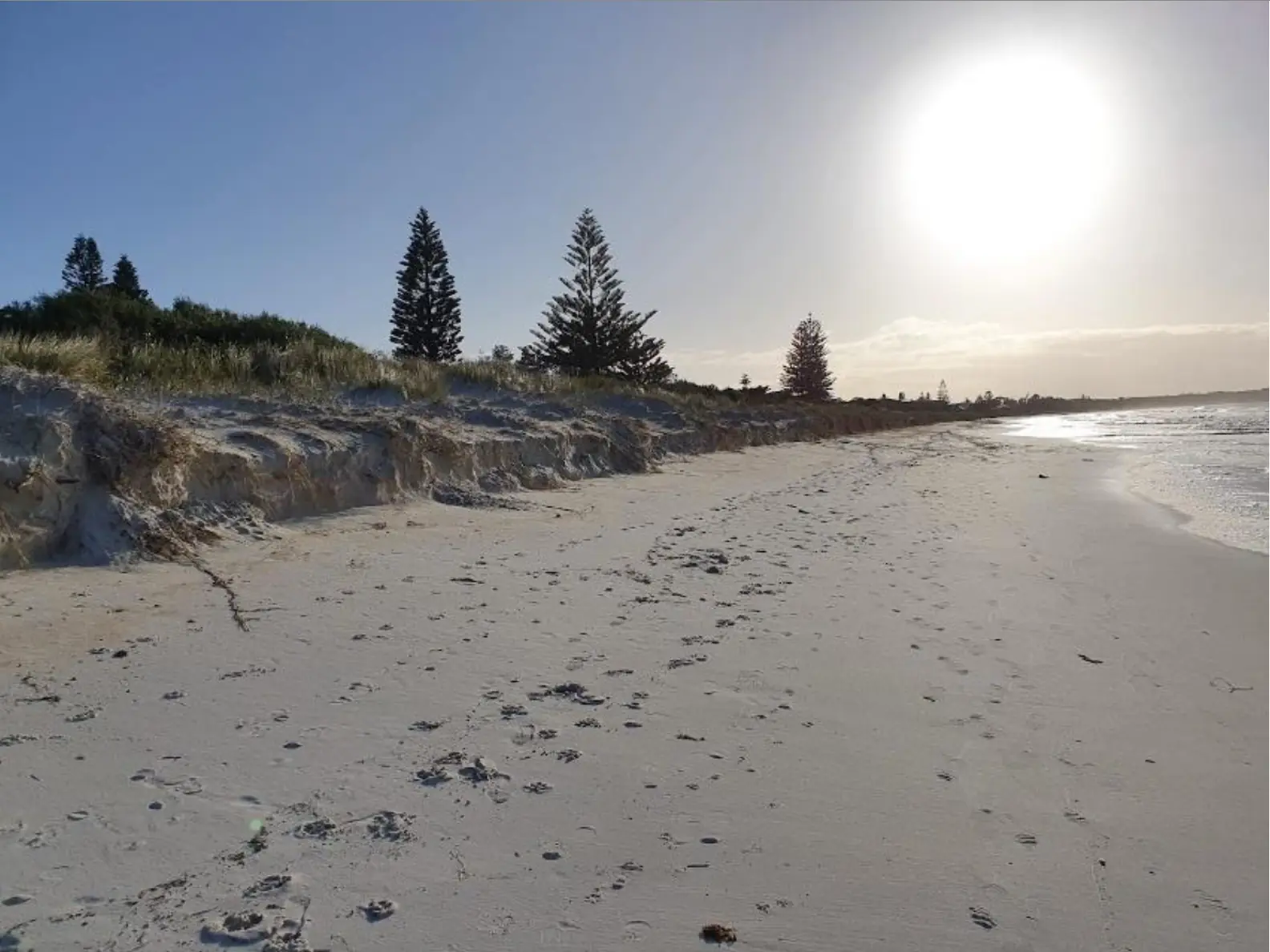
For example, compare the photo for July 2020 above with the following photo from the recent episode (August 2021):
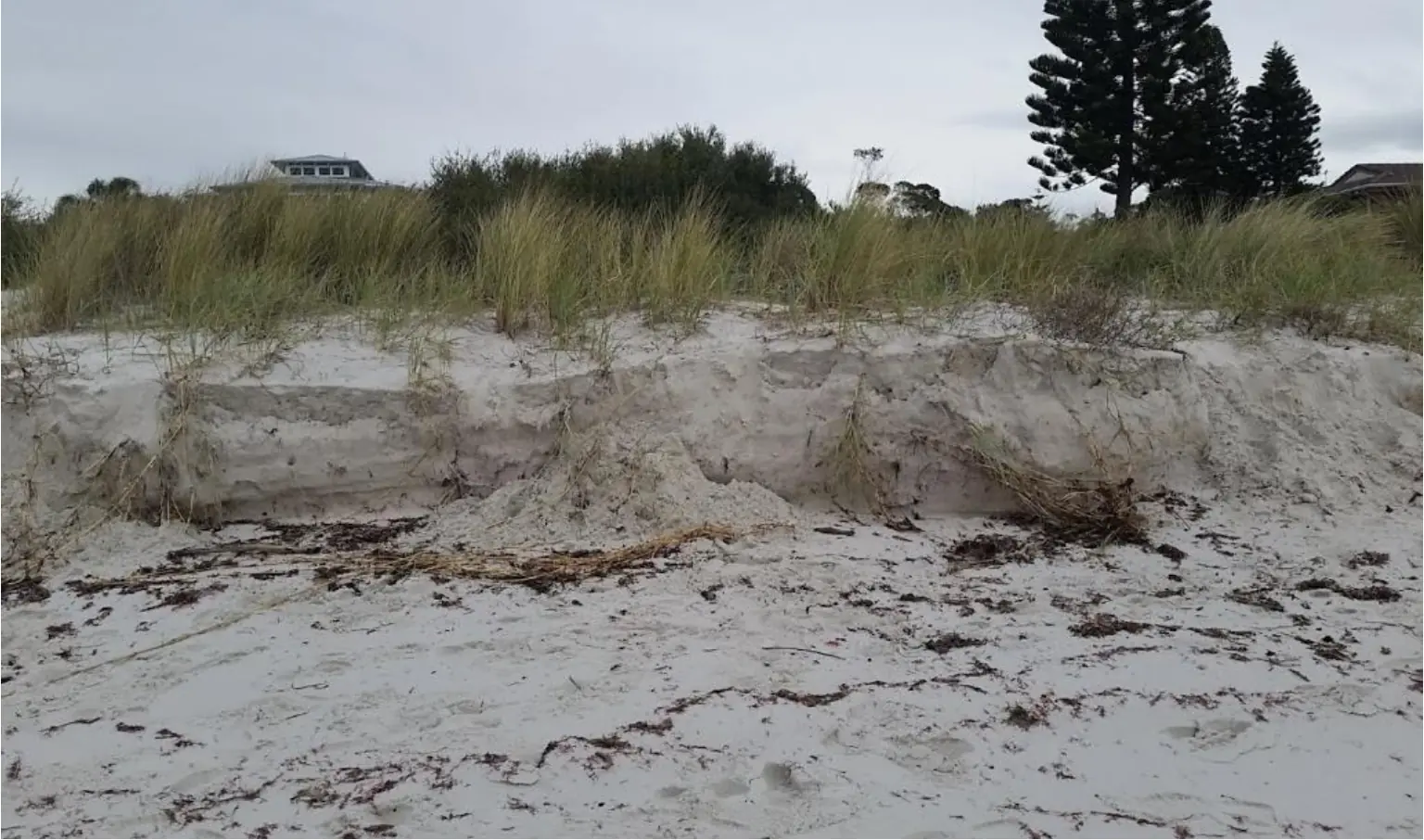
The sand face here is in the same location as all other episodes have been. From our yard there is a 2 metre dip into a ‘valley’ which is heavily vegetated with saltbush and other plants, then a small rise to the beachside dune which is largely vegetated by tufty grass and runners. It’s at the point where the grass thins out that the erosion always takes place.
It seems therefore, that the dunes have an existing behaviour pattern that doesn’t need any further management. What happens now is a natural phenomenon that we must and do just live with.
Observations about impact of private pathways accessing the beach
To get to the main issue under discussion at present, the other thing to see from these photos is that there is no evidence at all that where our pathway meets the beach has created any additional erosion when a storm hits. In the photo above from August 2021, which is head on from the beach, you can’t see where our path is. The erosion cut is a clean line at the edge of the dune. (For information, our pathway comes to a point near the right hand edge of this photo.)
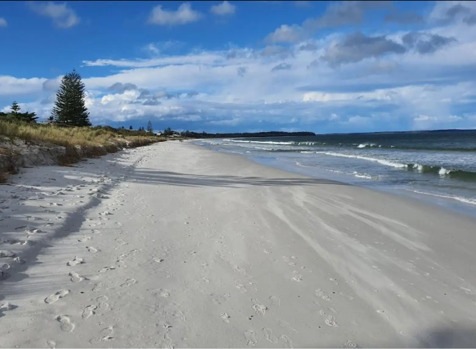
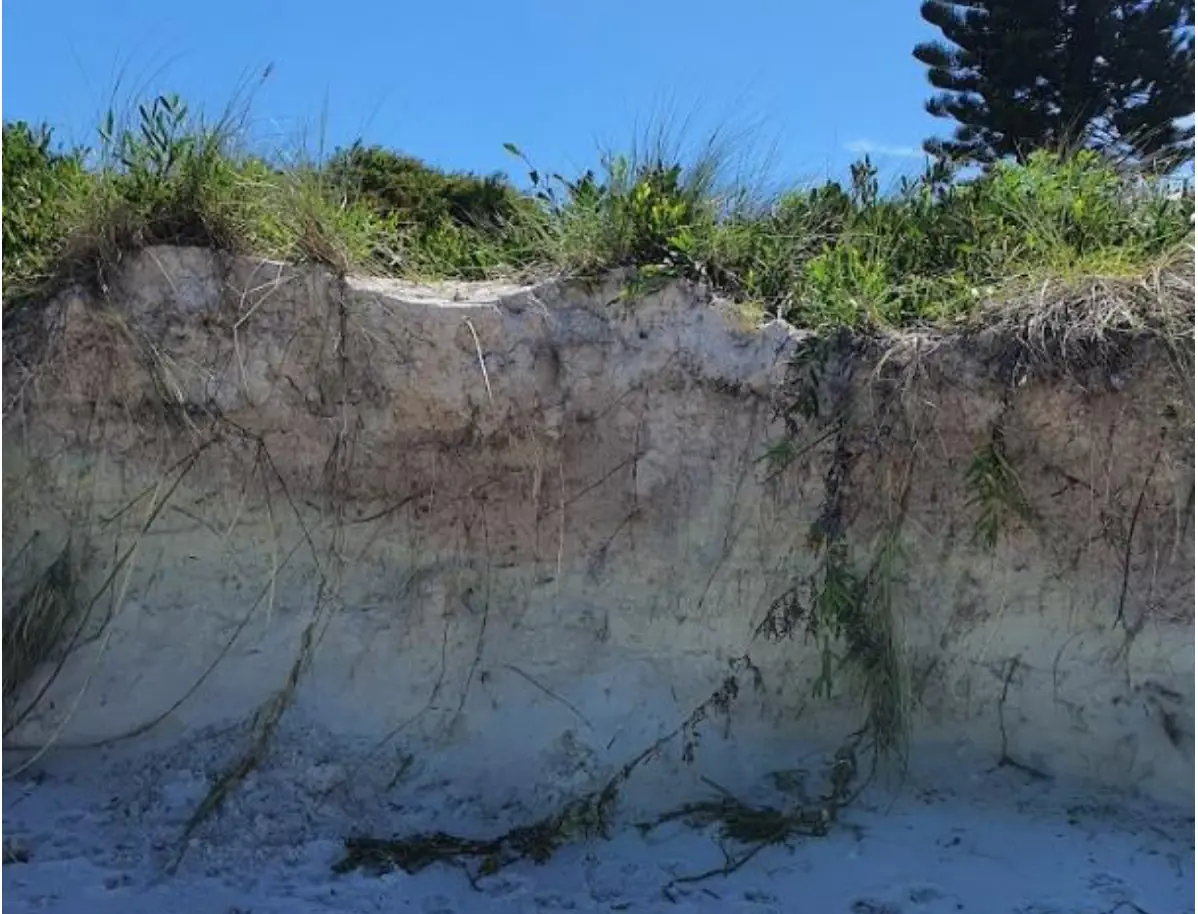
This is even more evident in the following photo, taken in April this year, which is directly head on to our pathway. The erosion is a clean line along the dune with no sign of the pathway causing additional erosion:
The following photo provides a perspective on our beach access path from the property side of things.
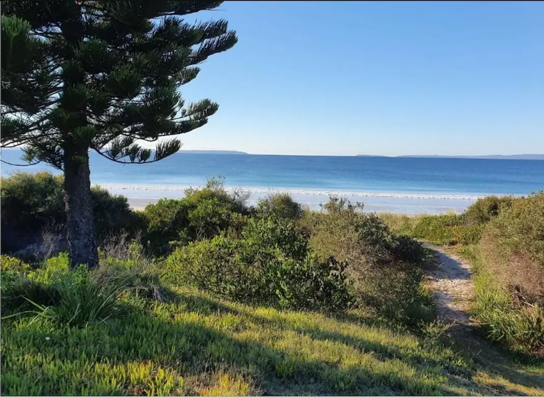 |
As you can see, our path is quite narrow in the midst of a lot of vegetation. We drop from our lawn into a ‘valley’ and then up the main dune before going down onto the beach. I believe that the dune closest to the beach has beneath it the sandbags that were put in place when the 1974 severe storm incident took place. |
Conclusion
One final observation in relation to pathways is that the erosion events typically impact all along the length of Callala Beach, not just in front of the houses. This certainly was the case with the east coast low episode earlier in 2022. The same erosion cut could be seen all the way along the beach towards Huskisson where there are no private pathways. That surely demonstrates that the small, narrow paths from the houses along the beach create no greater impact on the dunes.
It would be distressing in the extreme if our access to the beach was to be restricted because of an unnecessary policy. Doing so would have no impact on dune stability, which is in any case quite satisfactory already.
We urge Council not to take such action.